
Trace a Chester Street Directory
Use the Chesterfield Parcel Viewer as the address-to-record bridge. Its public popup can expose the parcel address, GPIN, owner, ZIP, subdivision, deed book and page, plus sale details. Then compare the current characteristics in Chesterfield Real Estate Assessment Data, or READ. Those two Chesterfield County tools establish a property record, not a complete list of people connected to the address.
After a parcel has supplied a name and deed reference, the next record is keyed differently. The CCC Land Records index is organized by names, so an address alone is not its primary search. Registration information and old reverse directories are narrower checks still. Use each one only for the fact it can support.
- Enter the full Chester address in the Chesterfield Parcel Viewer and open the matching popup. Confirm the parcel address before saving the GPIN, subdivision, owner field, and deed book/page.
- Use the GPIN and address to review the parcel and Chesterfield READ assessment details. Keep the situs address and the owner mailing address as separate fields.
- Search the owner name, deed book, and page in CCC Land Records. Compare the deed's legal description or lot reference with the parcel before treating it as the same property.
- For a known person, use Virginia Voter Information only for the individual registration, polling-place, or district question presented by the portal. A full voter-file request has separate lawful requester categories and use rules.
- For an earlier address, check a criss-cross directory, which is arranged by street and number, through the local library or historical collections. Historic entries are time-specific and may use a different locality label.
Note: Record the source date and identifier beside every result, because a matching street number alone does not settle an identity question.
Chester READ Street Directory Fields
Chesterfield READ is the current Chesterfield County assessment application. Its published configuration offers a broad base search plus property, sale, building, district, and sort controls. It can help narrow a Chester street directory inquiry by address-related property facts, but the static county page does not document every dropdown option or a complete historical coverage range. Treat the controls as current assessment research rather than a full address history.
| READ control | Input type | Research use and limits |
|---|---|---|
| Base Search | Text | General app search; exact owner and address behavior is not fully documented. |
| Subdivision | Autocomplete or dropdown | Optional; the published static response does not show every option. |
| Sale date minimum and maximum | Date range | Optional range control. |
| Sale price minimum and maximum | Number range | Optional range control. |
| Year built minimum and maximum | Number range | Optional range control. |
| Finished square feet minimum and maximum | Number range | Optional range control. |
| Bedrooms, full baths, half baths | Number ranges | Optional building-characteristic ranges. |
| Magisterial district | Dropdown | Optional; the exact option list was not exposed. |
| Lot size minimum and maximum | Number range | Optional range control. |
| Residential or commercial | Checkboxes | Optional property-class flags. |
| Active or inactive | Checkboxes | Optional record-status flags. |
| Improved or unimproved | Checkboxes | Optional improvement flags. |
| Building-use code | Dropdown | Optional; the exact code list was not exposed. |
| Stories, style, basement | Dropdowns | Optional; exact option lists were not exposed. |
| Sort | Dropdown or control | Optional ordering control; exact options were not exposed. |
The official Chesterfield READ assessment page is the source for the image below. The application is useful for current property context such as values, sale data, building facts, and district information.
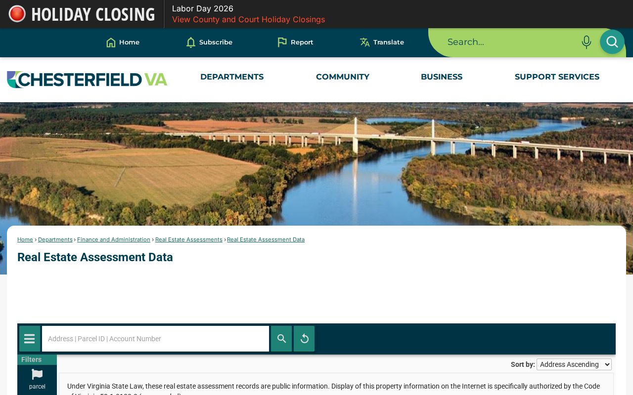
READ results should be checked against the Chesterfield Parcel Viewer popup and, when a transfer matters, the recorded instrument. A value or building field does not establish who currently occupies a Chester address.
Browse Chester Streets in GIS
The Chesterfield Parcel Viewer is the stronger street-by-street tool because it accepts an address, parcel, or subdivision search and allows map clicks on address points, parcels, subdivisions, and streets. For a short stretch, select the relevant parcel features, then use Actions to open a table, run statistics, or export the selected data. The Chesterfield GIS layer list, measure, draw, locate, bookmarks, and basemap controls add geographic context.
The Chesterfield Parcel Distance Buffer Tool can select parcels within an adjustable distance and export a CSV. That is helpful for organizing parcel identifiers around a Chester street, yet it is not a people count. A buffer can cross a road, stream, or boundary, so inspect the selected geometry and open the individual parcel records before drawing a connection.
Chester Street Records by Address
Address-keyed records are held by different Chesterfield County custodians and answer different questions. This Chester street directory table separates the parcel and assessment layer from deeds, registration records, historic directories, and postal geography. The best result is a chain of compatible identifiers, not a single search hit.
| Address record | Custodian | What it can show | Access route |
|---|---|---|---|
| Parcel and GIS | Chesterfield GIS | Parcel shape, address, GPIN, owner popup, subdivision, and civic overlays | Public viewer with select, buffer, table, statistics, and export tools |
| Current assessment | Chesterfield Real Estate Assessments | Owner, mailing address, situs, legal description, values, improvements, and building fields | READ current data; exact historical cutoff was not located |
| Recorded deed or plat | Chesterfield Circuit Court Clerk | Named parties, legal description, lot or block, deed book/page, and transfer details | Name-keyed index, Record Room, copy request, or mail request |
| Voter record | Virginia Elections | Individual status, precinct, district, and participation history where available | Individual portal; separate qualified request process for public list products |
| Permit or code record | Chesterfield County departments and GIS | Address and date evidence if the particular system holds it | No public Chester-specific name index was located; use GIS or a narrow VFOIA request for an existing record |
| Historic directory | Central Library or Historical Society | Address-to-occupant and name-to-address snapshots | Physical, microfilm, or licensed research access |
| ZIP assignment | USPS and Chesterfield GIS | Delivery city and ZIP, not property ownership | Exact-address USPS lookup plus Chesterfield County map |
The parcel GPIN and a recorded deed reference carry more weight than a street-name match. An assessed owner may receive correspondence elsewhere, while a directory entry records only the time and publication that produced it.
Follow Chester Deeds by Street
The deed path is address to parcel, parcel to owner, then owner name to the Chesterfield land index. CCC Land Records provides online deed indexes from 1967 to the present and wills from 1994 to the present. When the current owner and deed book/page are available from the parcel record, search the owner as a grantor or grantee, read the legal description, and compare the lot, block, subdivision, or other parcel reference before connecting a deed to a Chester street address.
The Chesterfield Circuit Clerk Land Records office keeps permanent county land and court records from 1749 onward. The public Record Room is on the ground floor of the Courts Building at 9500 Courthouse Road, Chesterfield, and is open Monday through Friday from 8 a.m. to 4 p.m. Mail copy requests go to the Chesterfield Circuit Court Clerk, P.O. Box 125, Chesterfield, VA 23832-0909, with the person, document type, and date. The clerk lists copies at $0.50 per page and certification at an additional $2 per document.
The CCC Land Records landing page is the source for the image below. Its public index is name-keyed, while remote SRA access requires a valid account and paid subscription.
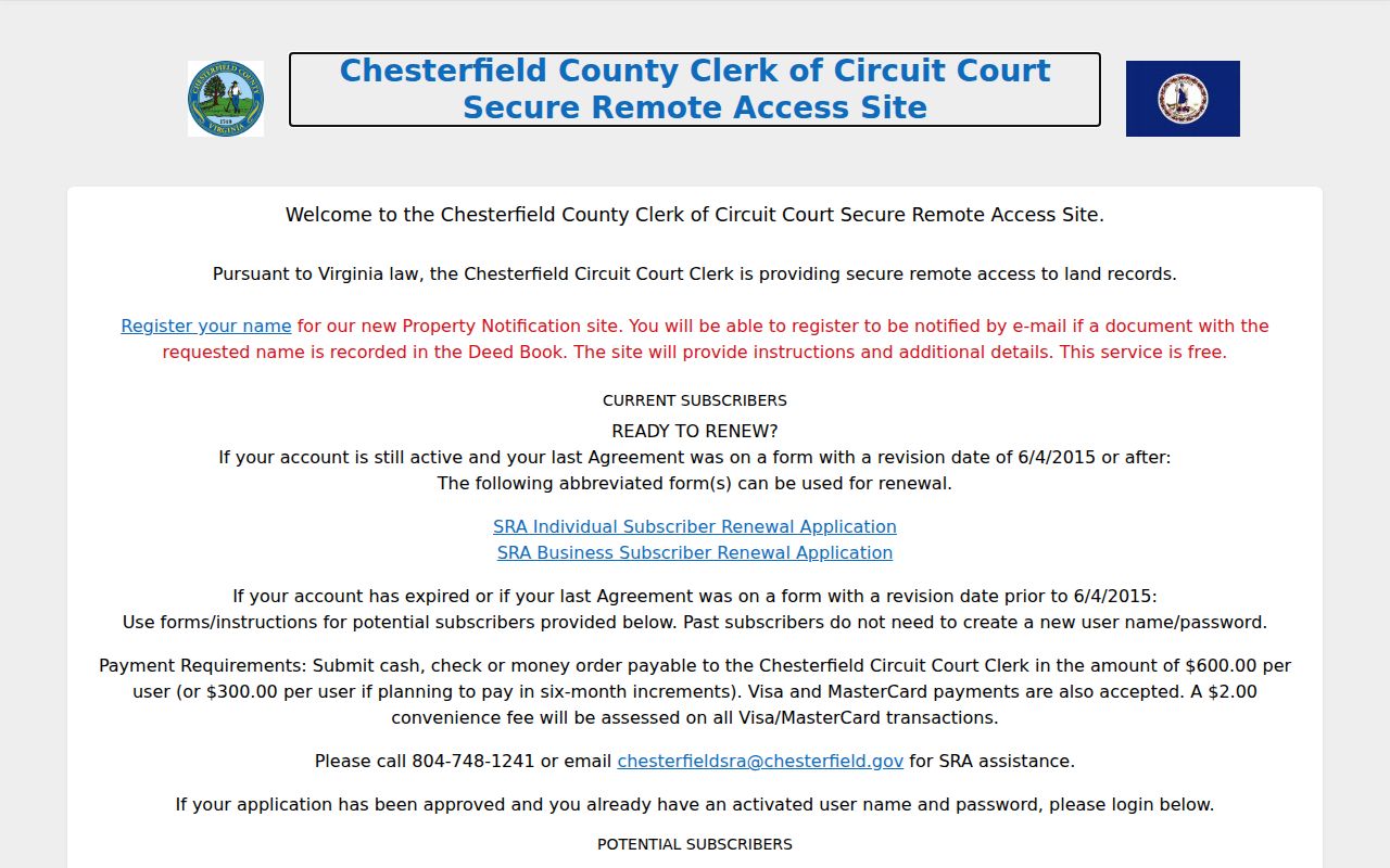
The Record Room is the no-subscription fallback for a recorded document. A Chesterfield assessor map copy can aid the search, but the clerk's recorded plat is the official instrument and the clerk does not maintain house blueprints.
Note: Use ordinary clerk copy channels for open land records; VFOIA is for an existing Chesterfield County record that is not already available through the clerk.
Chester Street Directory Terms
Several terms keep a street search from mixing different kinds of addresses. The parcel record labels a place and property features, while the legal and mailing fields may point somewhere else. A historic address directory is useful only when its arrangement and date are recorded with the result.
- Parcel
- A mapped property unit in the Chesterfield County assessment and GIS system, commonly identified by a GPIN or other parcel identifiers.
- Situs address
- The physical location assigned to the parcel. It is distinct from the address used for tax correspondence.
- Plat
- A recorded map or plan that can connect a street number with a subdivision, lot, block, or legal description. The Chesterfield Circuit Clerk holds the official recorded plat.
- Criss-cross directory
- A reverse directory arranged by street and number, used to locate an entry by address before checking the alphabetical listing.
Historic criss-cross volumes belong to the historical-directory shelf. When an older name needs a fuller directory trail, the physical collections are treated in the Chester city directory material rather than as proof of a current address.
Chester Street Directory Old Names
The Chester Plan describes a village platted around two railroads in the mid-1850s. Its original search keys include Petersburg, Winfree, Richmond, and Percival running east-west, crossed by Dodomeade, Gill, Curtis, West, Snead, Stebbins, and Daniel. These names can help identify a road or address in a historic map, plat, deed, or directory.
No official source located a Chester street-renumbering or street-renaming year. The plan is a historical planning document, not an address conversion table. Compare an old street name with the original locality label, a recorded legal description, a plat, and a directory address section before assuming that it matches a modern number.
Check Chester Streets Through Voter Records
Virginia's individual voter portal and its public voter-file request process are different products. For a known registration inquiry, the portal can return status, polling place, districts, absentee status, and participation history. A missing result calls for a spelling or address review and, if needed, contact with the Chesterfield County registrar. It does not establish that a person is absent from a street.
Public list products are requested only through the documented state process, with requester categories, purpose, filters, and statutory rules. The data is not a universal household roster, and protected Chester addresses receive special treatment. A precinct map can answer a civic geography question, but it does not confirm ownership, household membership, or identity.
Chester Street Directory Limits
A Chester street directory cannot turn parcel records into a complete list of people at an address. The Chesterfield GIS popup identifies an assessed owner and property data. A voter record concerns registration. An older directory captures a particular publication date. Unregistered adults, children, protected voters, and private utility or delivery-customer information may not appear in public sources.
Virginia's Address Confidentiality Program and protected-voter rules can limit public display of an address. Keep the custodian, record date, and public-field limit together when comparing records. If a Chesterfield County department may hold an existing non-indexed address record, use the Chesterfield VFOIA portal for a narrow request instead of assuming that an unlocated public name tool exists.
Lawful personal use. Use Chester street records for personal, family-history, estate, civic, safety, or verification purposes. Do not stalk, harass, intimidate, repeatedly contact, or expose a protected address.
Chester Street Records Since 1749
Chesterfield County's long record trail creates an important number gap in the Chester street directory: permanent county records begin in 1749, while the online CCC deed index begins with deeds in 1967. A search that stops at the online cutoff is incomplete when an older transfer or plat is needed. The clerk's Record Room, archival microfilm, and filmed deed collections provide the next routes for earlier material.
Chester developed as a railroad village in the 1850s, and older Chester records may use Chesterfield, Richmond, Manchester, or railroad-village wording. Save the original locality wording with a street reference. It is often the clue that joins an early record to the modern parcel system.